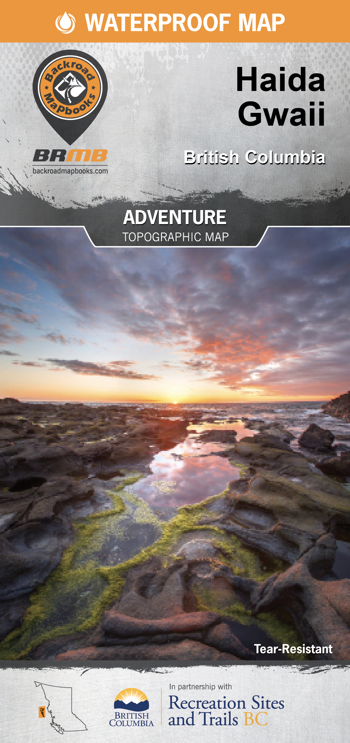
Haida Gwaii Recreation Map (BC Rec Map Bundle)
Backroad Mapbooks
This recreation map for Haida Gwaii highlights all the recreation sites, campgrounds, paddling routes for canoers and kayakers, fishing lakes, rivers and ocean hotspots, logging and resource roads, hiking and mountain biking trails, motorized trails for ATVing, wildlife viewing areas for whales and more. This map bundle contains two maps at 1:160,000 scale, each covering 19,645 km2 (7,585 mi2) or 134 x 146 km (83.5 x 90 mi). No other map provides you with this much recreational and topographic detail for Haida Gwaii. Special features include Haida Language toponyms, countless roads and trails and Points of Interest including anchorages and moorages, big trees, Haida Gwaii Watchmen sites, hot springs, sea caves and waterfalls. Campsites are classified as regular backcountry sites or ancient Haida sites and we also show you bathymetric (depth) data for the surrounding waters. These maps feature our industry-leading topographic relief and shading and cover the areas around Graham Island, Gwaii Haanas National Park Reserve, Hot Spring Island, Kunghit Island, Langara Island, Masset, Moresby Island, Naikoon Provincial Park, Port Clements, Queen Charlotte Village, Rennell Sound, Rose Harbour, Sandspit, Skidegate and more!