Southern Ontario (SOON Mapbook Bundle)
Backroad Mapbooks
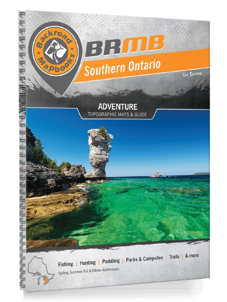
These recreation topographic maps for Southern Ontario highlight all the logging/resource roads, hunting areas, fishing lakes & streams, campsites, paddling routes for canoeing and kayaking, wildlife viewing areas, motorized trails for ATVing and snowmobiling, hiking, mountain biking, backcountry skiing & more. Featuring 64 maps in total, this Mapbook covers 72,500 km2 (28,000 mi2). Maps 1-31 are 1:165,000 scale, while maps 31-64 are 1:500,000 scale. The border areas of Michigan and New York are also included. New features include expanded road and trail data and countless recreational Points of Interest. Included on these maps are Barrie, Bruce Peninsula National Park, Catharines, Collingwood, Kitchener-Waterloo, Georgian Bay, Guelph, Hamilton, Lake Erie, Lake Huron, Lake Ontario, London, Markham, Niagara Falls, Oakville, Orillia, Owen Sound, Richmond Hill, Sarnia, Tobermory, Toronto, Windsor and more!